/1-17.png)
/1-17.png)
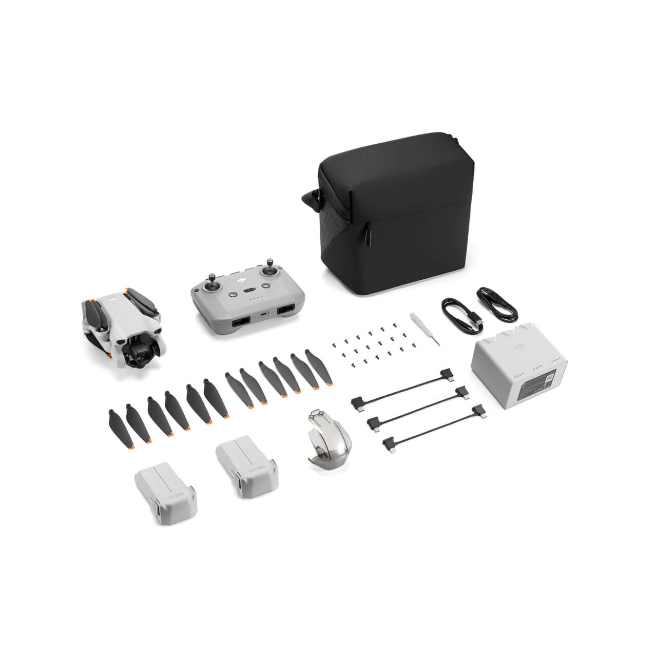
/air-3-img-4.jpg)
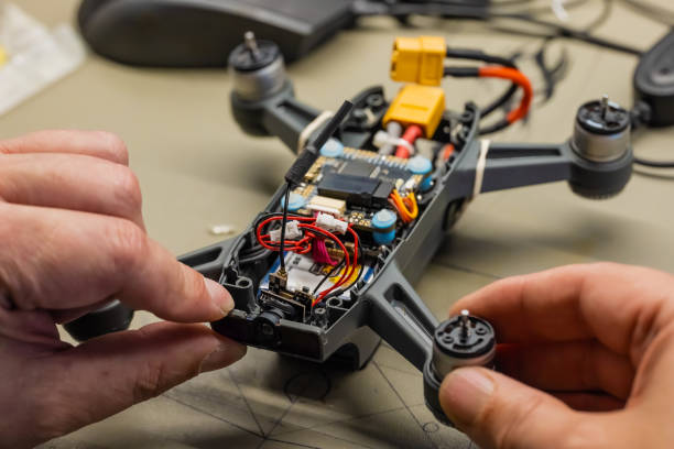
Servicing and repairing
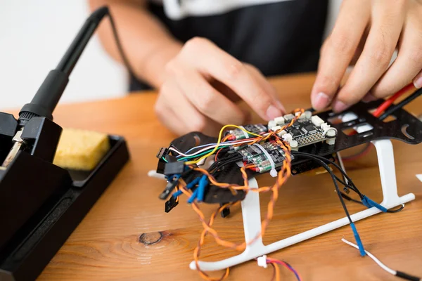
Routine Maintenance
Keep your drone in top shape with regular checks and updates.
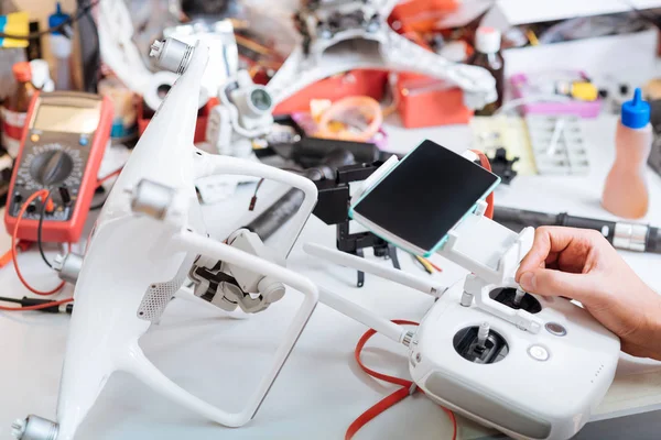
Emergency Repairs
Quick fixes for urgent drone issues and malfunctions
Custom Upgrades
Enhance performance with tailored upgrades and features.